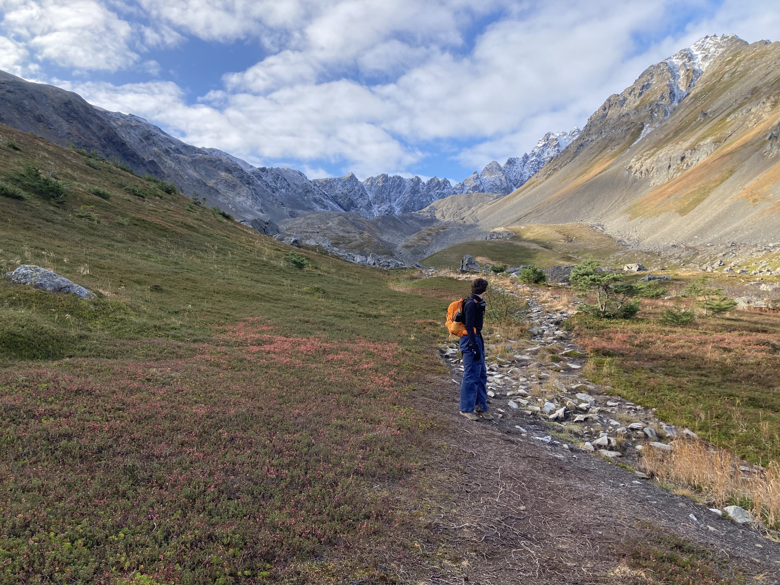
Amateur cartographer, passionate about creating change.
I specialize in remote sensing, air quality, and science communication.
Remote Sensing
I have worked extensively with Sentinel-5p TROPOMI, Terra / Aqua MODIS + MAIAC, CALIPSO CALIOP, Landsat, Suomi NPP VIIRS, and more.Air Quality
I leverage GIS software (ArcGIS Pro, Google Earth Engine, N.A.S.A. GIOVANNI) to create maps of aerosols / air quality, designed to aid local decision-making. Science Communication
Science should be accessible to everyone, regardless of background. I excel at communicating complex topics verbally and visually.

